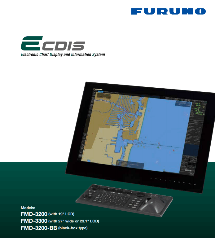
ECDIS,APT,ANNUALS,ENC'S,FMD-3300

FMD-3200/3300

An Electronic Chart Display and Information System (ECDIS) is a geographic information system used for nautical navigation that complies with IMO regulations as an alternative to paper nautical charts. It displays the information for Electronic Navigational Charts (ENC) and integrates position, heading, speed information from various navigational sensors.
The FMD system generates audible and visual alarms when the vessel is in proximity to navigational hazards so that the crew can react in a faster time frame and prevent an accident.

  • Multifunctional display capability, featuring ECDIS Conning Information.  
  • Instantaneous chart redraw delivered by FURUNO's advanced chart drawing engine, making redraw latency a thing of the past.
  • Intuitive new user inerface offers fast, precise route planning, monitoring and navigation data management.
  • Interface with FAR-2xx8 series and FAR-2xx7 series Radar to display Overlay, target info and waypoint exchange via Ethernet.
  • Complies with the following IMO and IEC regulations:
      
    * IMO A.694(17)           * IEC 60945 Ed. 4              * IEC 61174 Ed. 4
      * IMO MSC.191(79)      * IEC 6116201 Ed. 5           * IEC 62288 Ed. 2
      * IMO MSC.232(82)    * IEC 61162-1 Ed. 1            
      * IMO MSC.302(87)    * IEC 611620459 Ed.1 AMD1
FURUNO ECDIS DIAGRAM

Open PDF Brochure

The web page was built with Mobirise themes